
Our place
A mountain worth protecting
Ninety-seven hectares of Nature Refuge on the edge of the Gondwana Rainforests, cared for as a buffer between wilderness and farmland.
Land care
Looking after this special place
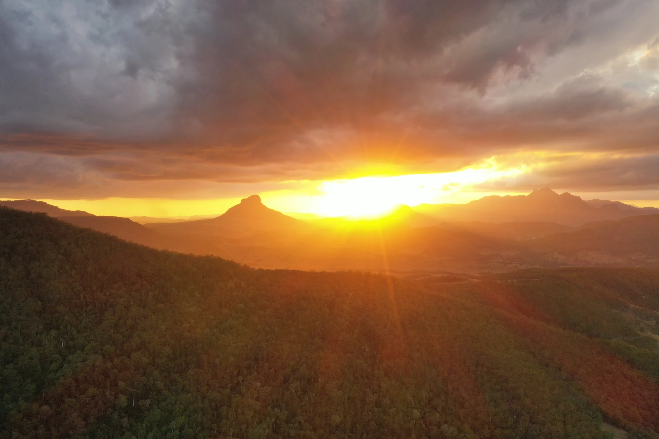
We lie on the edge of the sub-tropical rainforest wilderness of Lever’s Plateau World Heritage Area. The richly diverse rainforest of the more gentle slopes at the edge of the plateau gives way to open eucalypt woodland on the steeper escarpment with an understorey of kangaroo grass and grass trees. This diversity of forest type and terrain partly explains why Wild Mountains is home to an exceptional variety of fauna and flora, including species listed as threatened and rare.
For instance, our track system design and construction are carefully considered to minimise impact on the surrounding bushland. The conservation status of Wild Mountains is recognised through listing with the Queensland Parks and Wildlife Service as an official Nature Refuge, thereby securing the preservation of its precious natural heritage.
The Gondwana Rainforests of Australia are the most extensive area of subtropical rainforest in the world, with large areas of warm temperate rainforest and the majority of the world’s Antarctic beech cool temperate rainforest. Collectively, the rainforests are a World Heritage Site with fifty separate reserves totalling 366,500 hectares from Brisbane to Newcastle. These extraordinary areas still contain ancient and primitive plants and animals from which life on Earth evolved.
The Wild Mountains property is 97 hectares and backs onto the Border Ranges, Queensland side, acting as a buffer forest between this amazing forest and the farming lands below. We remove weeds of national significance as needed and invest energy into reforestation through our volunteering programs.
High up, cool mists envelop the jungle. Strangler fig, pigeonberry ash, rosewood and brushbox are festooned with epiphytic ferns and orchids. Twisting vines trail from the canopy to the forest floor where buttress roots of yellow carabeen and booyong are interspersed with an understorey of walking stick palms, cordylines and tree ferns. The calls of the catbird, wompoo pigeon, Albert lyrebird, riflebird and numerous others attest to the prolific rainforest birdlife. And on warm summer nights subtle galaxies of glow worms reveal themselves as fireflies dart through the trees with roots covered in phosphorescent fungi. Along the ridge lies a narrow band of wet sclerophyll forest, dominated by tallowwood and hoop pine. This richly diverse strip supports a multitude of life forms. Carpet snakes, lace monitors and their smaller skink brethren, snuffling echidnas and a multitude of insect species make use of the sunshine and moist shade patterning the forest floor. From the ridge, open woodland of white mahogany, bloodwood and grey gums understoried with grass trees and forest oak drops steeply to farming country below.
Richard Zoomers, Co-Founder of Wild Mountains
Property care
How we tend the land
We value our role as guardians of the land under our care, from participating in government-supported governance as a Nature Refuge, to the way we manage fire, flora and fauna.
Nature Refuge
Wild Mountains is a Nature Refuge and supports the agreement under the Nature Conservation Act 1992. The land under Trust has been gazetted as the Wild Mountains Nature Reserve, a Nature Refuge. The Nature Refuges Program partners with landholders to protect land for conservation. Through the program, landholders can play an integral role in protecting the state’s biodiversity by establishing a nature refuge on their property. A nature refuge is an area of land voluntarily protected for conservation, while allowing compatible and sustainable land uses to continue.
Geology
Wild Mountains is located on Lever’s Plateau, which forms part of the McPherson Range straddling the Queensland and New South Wales border. The McPherson Range comprises basalt layers of the Lamington Group, laid down firstly by the Focal Peak Volcano and then by the Tweed Volcano around 23 million years ago. Subsequent erosion has left the McPherson Range as a high altitude link between the Main Range in the west (part of the Great Dividing Range) and the Lamington Plateau to the east. The basalts have weathered into deep red soils in wetter areas and black soils in more exposed areas. High rainfall and rich volcanic soil support complex rainforests of national and international significance. The area is noted for high peaks, steep ridges, narrow valleys and tumbling streams.
Wild Mountains is at the headwaters of Camp Creek, which flows into Running Creek. Wild Mountains received acknowledgement for its work in regenerating the Camp Creek headwater, receiving the Healthy Water Ways award in 2012.
Biodiversity Hotspot and World Heritage Area
The McPherson Range is a declared National Hotspot for Biodiversity. High levels of biodiversity are known to occur here, due to a phenomenon called the Macleay Overlap. This is a zone of overlap between generally northern species of Australian flora and fauna and southern species. The area contains a mixture of both northern and southern species. As well, a number of locally endemic species occur here, as the area has acted as a refuge during past climate change events.
National Parks on the McPherson Range are also included in the World Heritage listed Central Eastern Rainforest Reserves of Australia (CERRA). The Wild Mountains Nature Reserve adjoins the Border Ranges National Park (in NSW) and the CERRA World Heritage area, and would share World Heritage values. Therefore, conservation efforts in this area are of international significance.
Landscape Zones
Four landscape zones have been identified in the Wild Mountains Nature Reserve. These represent distinct areas with specialised vegetation communities, habitats and landform. Each area presents different challenges for management and conservation.
- High Rainforest Zone: Complex Notophyll Rainforest at the head of Camp Creek on deep red basalt soil. This zone forms the habitat for most of the rare and threatened species identified so far.
- Road Buffer Zone: Dry eucalypt forest in the road reserve and a buffer of 20 metres from the road. This zone suffers from edge effects along the road.
- Dry Eucalypt Forest Zone: Complex Woodland on a steep basalt slope with a grassy understorey. This zone has a northerly aspect and is prone to fires from neighbouring properties.
- Low Rainforest Zone: A mix of Brush Box Wet Sclerophyll Forest and Hoop Pine complex Microphyll Vine Forest in a gully at the northern end of the covenant area. This area is quite inaccessible and not prone to fire.
Revegetation and Weed Management
The vegetation on the property is largely undisturbed. Past logging and land use practices have not impacted significantly, and the forest communities have largely recovered. Natural regeneration is the preferred methodology to restore disturbance within the covenant area. Revegetation may be required where areas have had a high amount of weed removal or the level of disturbance has exceeded the potential for natural regenerative processes. If revegetation is needed, then only local provenance species will be used.
The presence of priority weed species threatens the environmental values of the covenant area. Priority weeds are plant species detrimental to the desired landscape outcome, assessed against the degree of alteration to the landscape and habitat values, the potential threat to native plant communities, the effort required to reduce the population, and the rate of growth to adult maturity.
Explore our place
Four ways to look closer
Help us care for it
Plant trees, restore habitat and learn the land alongside us. There is a place for you on the mountain.